Valocity Agri
Rural valuation data platform.
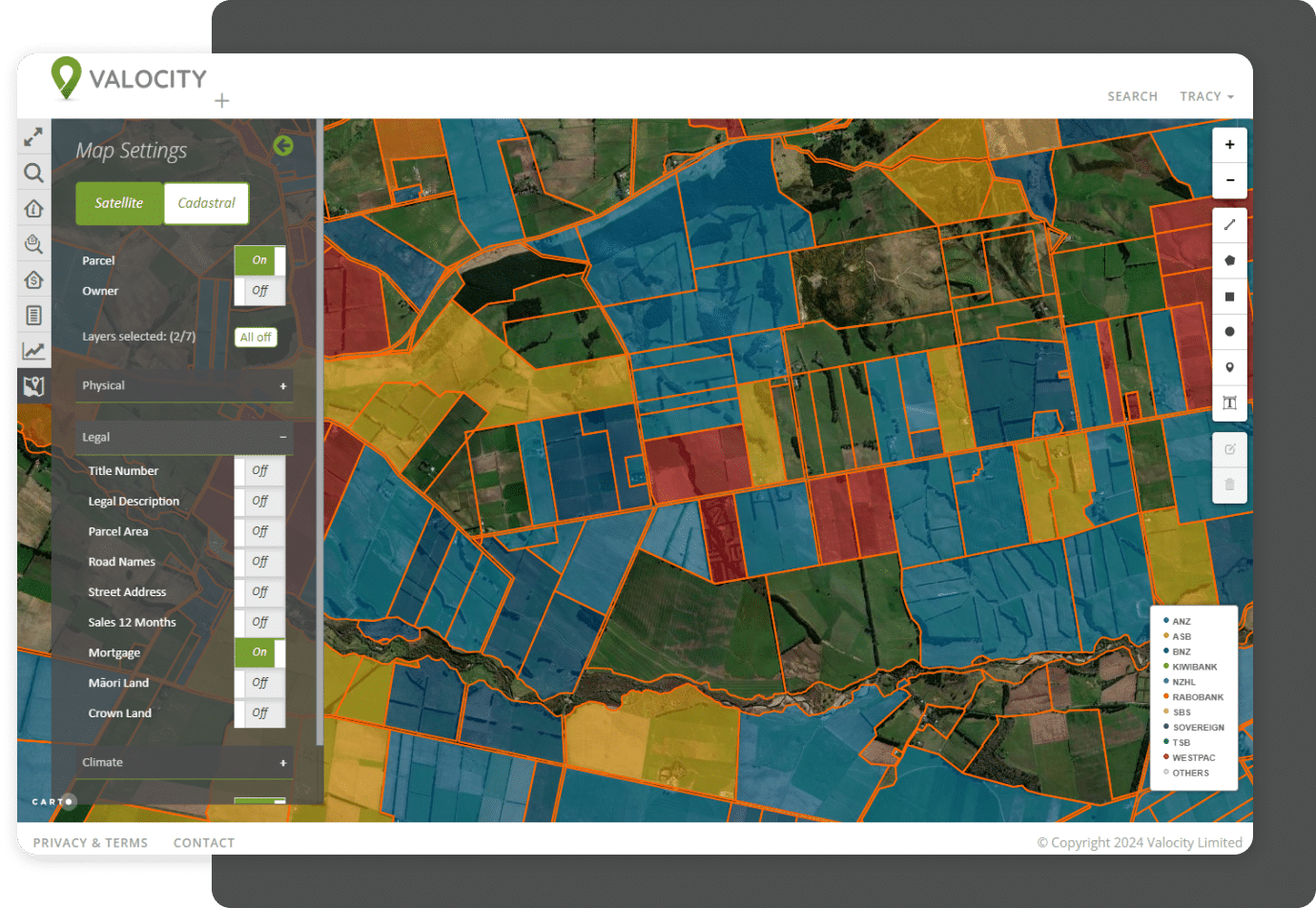
Valocity Agri enables customers to instantly see property attributes through an interactive, highly visual mapping solution.
Whether it be the slope of the land, soil type, or land use, using the map layers and inbuilt measuring tools allows lenders to understand the geographical impacts on property values and portfolios.
Get in touch
A one-stop shop for rural lending

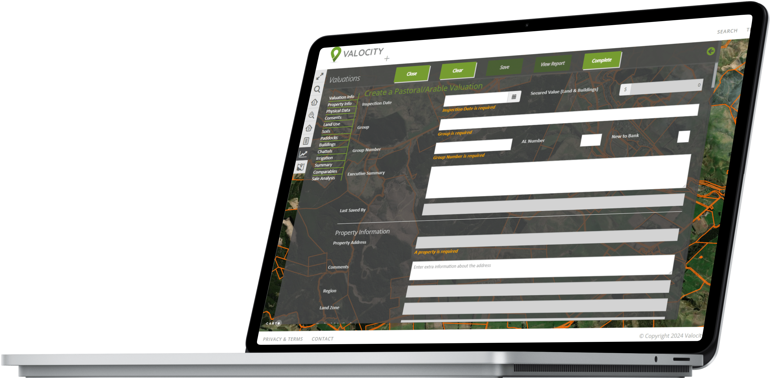
Valocity Agri offers configurable valuation templates, a customisable workflow, and a searchable dashboard, so that lenders can record all production and valuation information for a farm.
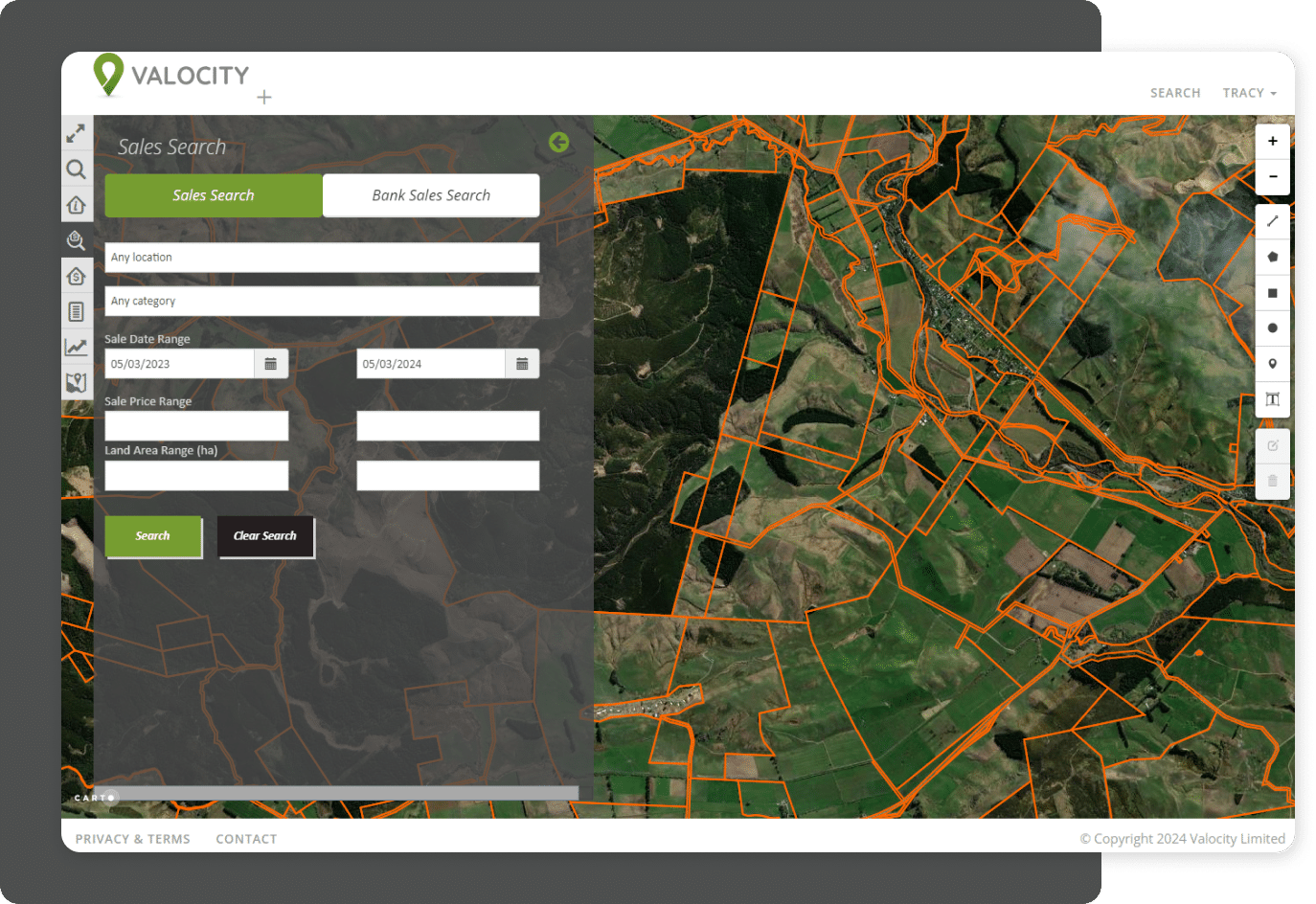
Powerful sales and property search tools, plus a range of reports, give Agri users all the information they need in a single geospatial solution.


With Valocity Agri

- Leverage an interactive GIS driven multi-layered platform
- Identify farms and all land characteristics with a title-centric view
- Include bespoke internal valuation templates, providing validation of valuation information and rural reporting
Let’s get in touch
Have any questions? You can reach us here:
